

 BANNER
 BANNER
 BANNER
 BANNER
 BANNER
 BANNER
 BANNER
 BANNER
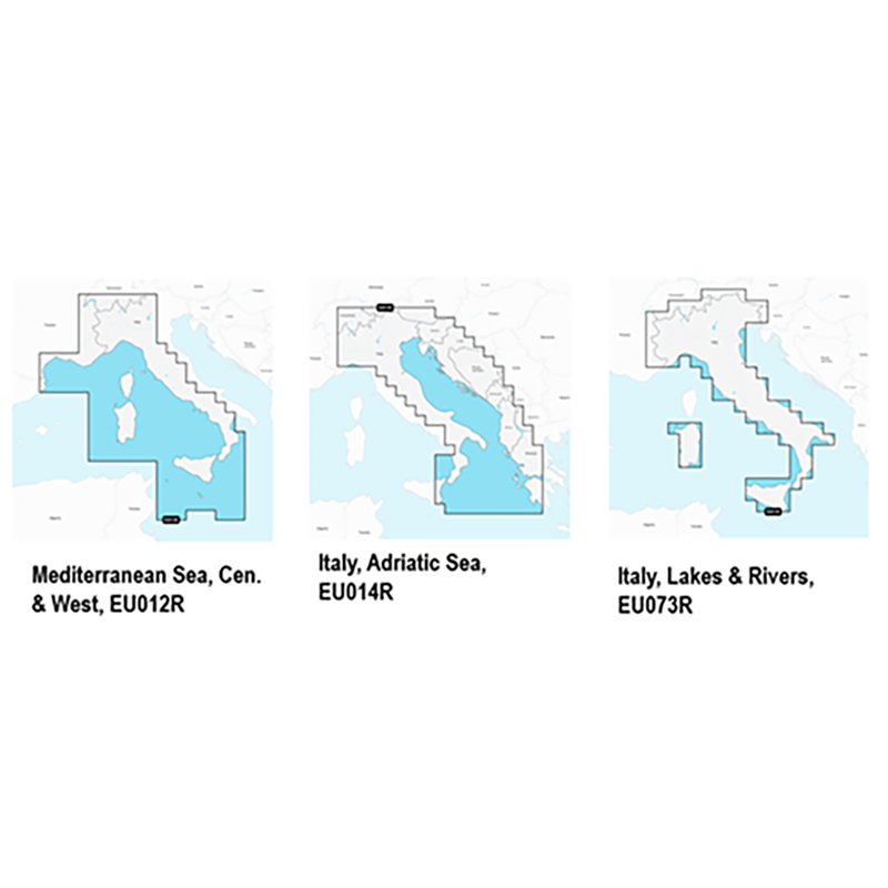
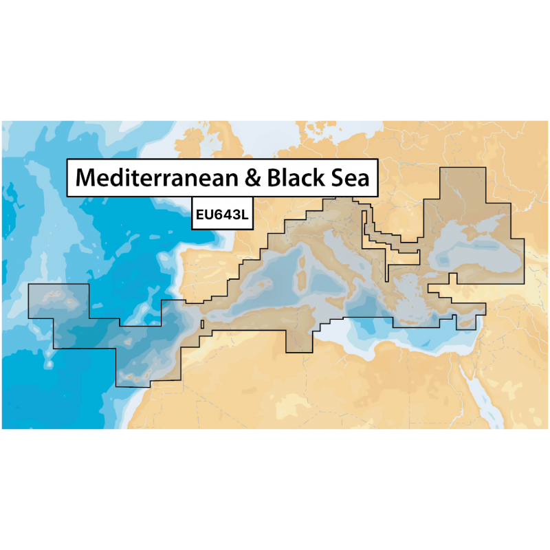
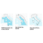

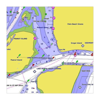
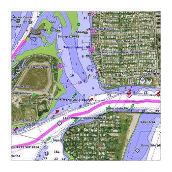
Display real-time position, direction, speed and track. Bathymetrics, navigation aids with Xplain ™ technology, port services (gas stations, mooring, shipyards etc. With phone numbers where available), tides and currents.Verify that the instrument is capable of reading MSD-SD memory media greater than 2 GB in capacity.
| Peso | 0,10 kg |
|---|---|
| Dimensões (C x L x A) | 10,7 × 1,3 cm |
Produtos Relacionados


Em stock


Em stock


Em stock


Em stock

