

 BANNER
 BANNER
 BANNER
 BANNER
 BANNER
 BANNER
 BANNER
 BANNER
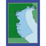


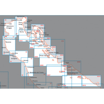
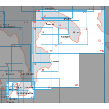
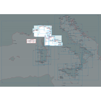
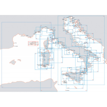
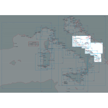
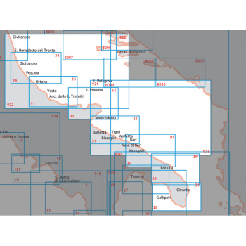
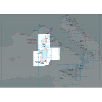
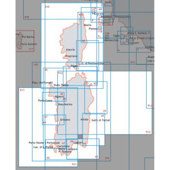
It provide information regulatory, geographic, oceanographic and meteorological. This is indispensable complement to the nautical charts. From Marotta to Italo-Sloveno border
| Peso | 0,56 kg |
|---|---|
| Dimensões (C x L x A) | 20,4 × 29,1 × 7 cm |
Produtos Relacionados
Em stock

Em stock
Em stock


Em stock


Em stock
Em stock


Em stock
Em stock